
Mapping & LiDAR Data Processing Services
At Data Collection Infotech (DCIL), we specialize in end-to-end Mobile LiDAR and Aerial LiDAR data processing, delivering high-accuracy geospatial solutions for industries spanning transportation, utilities, forestry, and more.
With a proven track record and deep domain expertise, our team transforms raw geospatial data into actionable insights that empower better planning, design, and decision-making.
Mobile & Aerial LiDAR Data Processing
We process high-density point cloud data captured through mobile and aerial platforms, ensuring precise and reliable outputs for various terrain types, including:
• Roadways and highway networks
• Transmission corridors and utility lines
• Remote and rugged landscapes
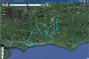
Track Record: Over 55,000 km of road feature extraction completed in the last two years across diverse geographies.
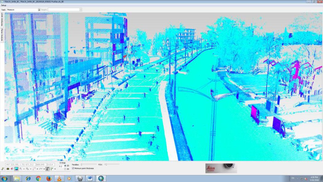
Corridor & Road Network Mapping
Our mobile mapping workflows are tailored to meet the demands of transportation and energy sectors, offering:
• Accurate road corridor mapping
• Feature extraction for pavements, barriers, signs, and markings
• Asset inventory creation for public infrastructure
• Infrastructure condition assessment and planning support
Whether it’s a national highway or a rural utility corridor, we ensure high-precision mapping with efficient data turnaround.
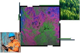
Forestry & Environmental GIS Solutions
We bring the power of geospatial data to environmental monitoring and sustainable forestry management with:
• Canopy Height Modeling
• Vegetation Classification
• Digital Elevation Models (DEMs) and Terrain Mapping
Our solutions aid in resource planning, biodiversity assessments, and compliance reporting for governments and conservation agencies.
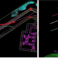
LiDAR Classification & PLS-CADD Modeling
We deliver specialized LiDAR classification services and PLS-CADD ready outputs for transmission line design and network management:
• Automatic and manual classification of ground, vegetation, and utility assets
• Precise modelling of high-voltage transmission infrastructure
• Vegetation encroachment analysis
• Sag and clearance calculations
Key Achievement: Classified over 50,000 bays of power line infrastructure for the Australian energy network — enabling safer, more efficient grid operations.
Road Mapping Services
Our vehicle mounted survey equipment collects images that shall be used to analyze both road assets, extensions, encroachments, distress information etc through visual and automatic inspection.
The collected data has been provided for various standards such as UKPMS, MicroPAVER, HDM-4, ASTM Standards, MUTCD Standards etc.